
Discover the Inca citadel hidden within the depths of the Apurímac Canyon—one of the most challenging, mystical, and untouched trekking routes remaining in the world.
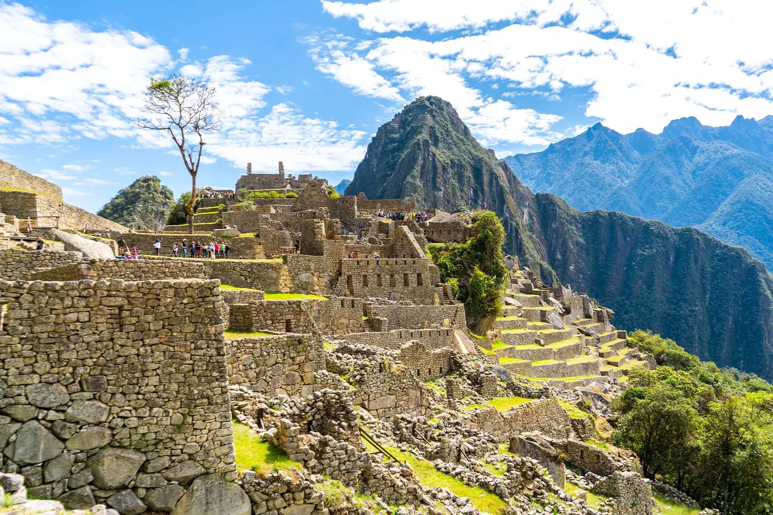
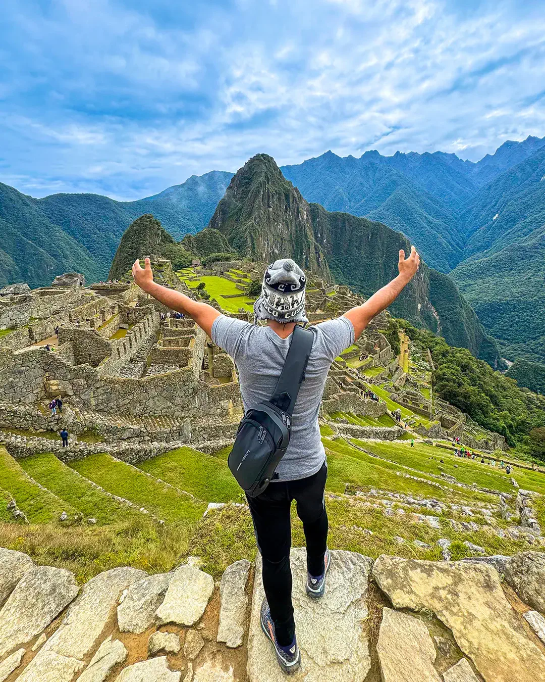
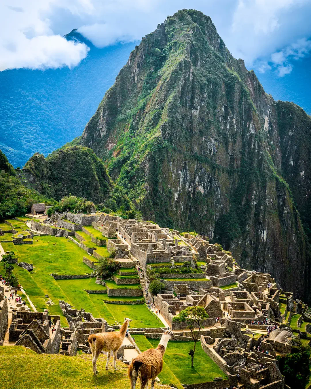
Dramatically perched on a mountain ridge at 3,033 meters (9,951 feet) above sea level, Choquequirao (whose Quechua name means "Cradle of Gold") is a majestic Inca archaeological complex. It shares a striking similarity in design, structure, layout, and geographical setting with Machu Picchu.
However, unlike its famous sister, Choquequirao cannot be reached by train, bus, or car. The only way to step onto its stone plazas is by conquering one of the most demanding and remote high-mountain treks in Peru. This isolation has protected the site from mass tourism: while Machu Picchu welcomes thousands of visitors a day, Choquequirao is explored by barely twenty adventurers daily, offering a mystical experience of absolute solitude and discovery. Currently, only about 30% of the complex has been excavated and cleared from the dense cloud forest vegetation.
Historically, Choquequirao played a much more military and political role than Machu Picchu. Archaeologists suggest it was built during the reign of Inca Pachacutec and expanded by his son, Tupac Inca Yupanqui, to serve as a strategic checkpoint between the imperial capital of Cusco and the tribes of the Amazon basin.
Its true historical prominence came after the Spanish invasion. When Manco Inca rebelled and established the neo-Inca state of Vilcabamba in 1536, Choquequirao became one of the last refuges of the Inca resistance. From these fortresses hidden among the mist and cliffs, the final rulers of the Tahuantinsuyo resisted conquistador attacks for nearly 40 years, until the capture and execution of the last Inca, Tupac Amaru I, in 1572.
The architectural complex of Choquequirao is colossal, featuring agricultural terraces, ceremonial temples, pristine water channels, royal residences for the elite, and an immense upper central plaza. However, its most world-renowned artistic signature is the Terrace of the Llamas.
This consists of a group of 24 steep agricultural terraces where Inca architects utilized a unique mosaic technique: they inlaid blocks of polished white quartz into the dark stone walls to depict the silhouettes of 33 life-sized llamas marching toward the sun, accompanied by the figure of an Inca shepherd. This type of geometric and figurative decoration on terrace walls exists nowhere else in the Inca Empire.
The classic route to visit the citadel requires a standard itinerary of 4 days and 3 nights (round trip), starting with overland transport from Cusco to the small town of Cachora (Abancay province), the trailhead of the path.
The trek to Choquequirao holds a formidable reputation among global hikers due to a ruthless geographical factor: the "rollercoaster" effect of the Apurímac Canyon.
Unlike the Inca Trail or Salkantay, where you gradually ascend toward a high pass and then definitively descend, at Choquequirao you are forced to drop down a deep canyon, climb an identical vertical mountain, and repeat the exact same process on the way back. The slopes feature gravity-defying inclines, the terrain is dry and loose, and the midday heat at the bottom of the Apurímac Canyon can be suffocating, demanding extraordinary muscular and mental endurance.
Unlike the Classic Inca Trail, current tourism regulations allow you to visit Choquequirao completely independently (backpacking style). The trail is very well-marked, and there is little risk of getting lost. At the official campsites (managed by local families or the government), you will find basic toilets, cold showers, and the opportunity to purchase bottled water and simple meals.
However, due to the extreme difficulty of the second day's ascent, it is highly recommended to hire a formal agency or secure the services of a local muleteer (arrieros) with mules in Cachora at the start of the trail. Letting a mule carry your tents, sleeping bags, and heavy food allows you to hike with a light daypack, saving your knees and back so you can truly enjoy the canyon scenery.
The weather in the Apurímac Canyon is heavily dictated by altitude and Andean seasons:
The mysticism and peace of Choquequirao are officially on a historical countdown. The Peruvian government is currently moving forward with the bidding and execution of an ambitious cable car project that will span across the Apurímac Canyon, connecting the departments of Apurímac and Cusco.
This aerial transit system promises to reduce the grueling two-day trek to a comfortable 15-to-20-minute cabin ride. This will open the gates of the "Cradle of Gold" to regular mass tourism for all ages. Because of this, the international hiking community agrees that now is the ideal historical moment to visit on foot, before the stone pathways become crowded and commercialized like other global destinations.
Given the hostile and isolated geography of the canyon, your backpack must be smart and ultra-efficient:
Recomendado por







Copyright 2025. All Right Reserved | politica de Privacidad & Terminos y condiciones

